May 29, 2026
By: Ferran Garcés
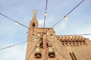
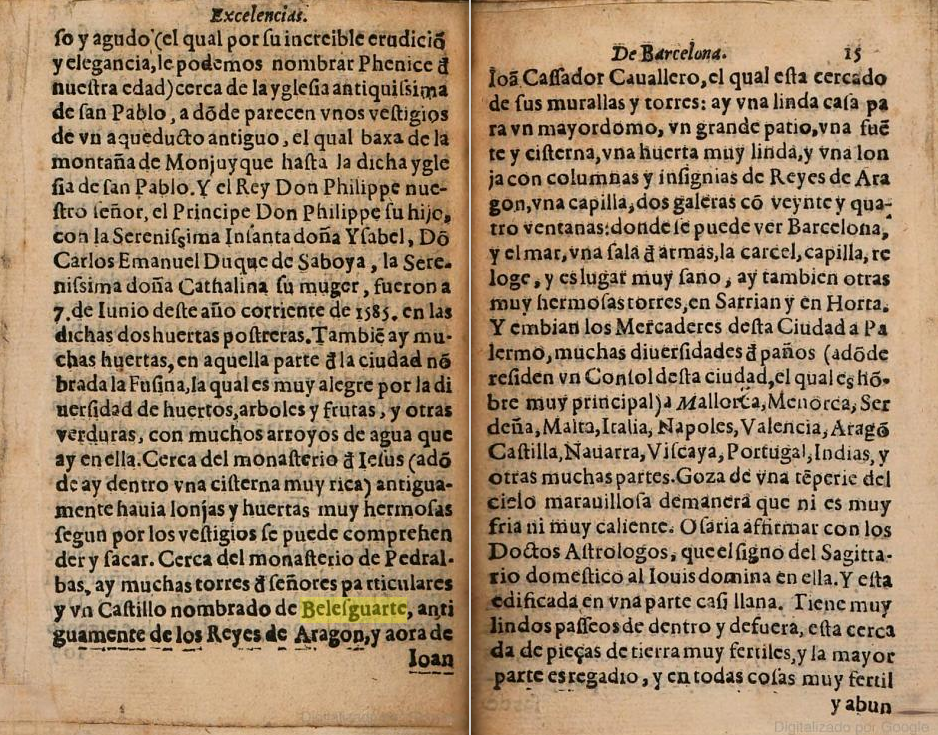
The oldest description of the royal site of Bellesguard dates back to the late 16th century. It was written by the Barcelona-based humanist Dionís Jeroni de Jorba in a book published in 1585 titled Descripción de las excelencias de la muy insigne ciudad de Barcelona. The work was originally written in Catalan and later translated into Latin and Spanish, which is the language of the surviving copy. Jeroni de Jorba was born in the city of Barcelona and, at the time of publication, he was a Professor of Law at the city’s university. As a true humanist, his source of inspiration was a classic: Ab urbe condita by the historian Titus Livy, which describes ancient Rome. For this reason, Dionís also begins by collecting foundational legends such as that of Hamilcar Barca, a Carthaginian general, or even Hercules, the well-known Greek hero.
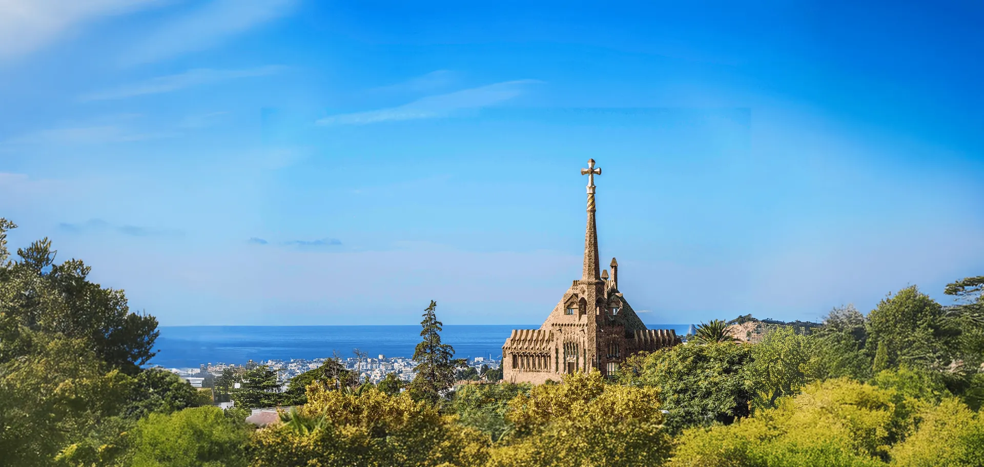
However, the most remarkable aspect of the work is that it covers both the walled city and the surrounding lands, so his account includes the former palace of Bellesguard, offering not only its first description but also the most complete one. Without it, we would know very little about it.
“cerca del monasterio Pedralbas (Pedralbes), hay muchas torres de señores particulares y un castillo nombrado de Bellesguarte (Bellesguard), antiguamente de los reyes de Aragón, el cual está cercado de sus murallas y torres: un gran patio, una fuente y cisterna, un huerto muy lindo y una lonja con columnas y insignias de reyes de Aragón; una capilla, dos galerías con veinticuatro ventanas, donde se puede ver Barcelona y el mar, una sala de armas, la cárcel, capilla, relojes; y es un lugar muy sano” (see original: Llibres Google, p. 14-15)
Barcelona, the first visual portrait
The description of Barcelona written by Dionís Jeroni is contemporary with the oldest panoramic view of the city that has reached us. The authorship and date of creation have been debated, but it is usually attributed to Jan Cornelisz Vermeyen, a Flemish artist at the court of Charles V, who is thought to have created it around 1535 (1). The “portrait” was drawn from the Montjuïc hill, so Bellesguard would be on the left side of the image, on the opposite side of the sea, on the slopes of the Collserola range. This image was later copied and published in several atlases, but it first appeared in the Atlas Civitates Orbis Terrarum by Georg Braun and Frans Hogenberg in 1572.
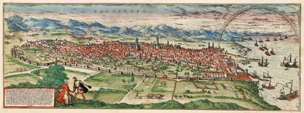 View of Barcelona from Montjuïc by Jan Cornelisz Vermeyen, 1535. First overall view of Barcelona. Reproduced in the work edited by G. Braun and F. Hogenberg, Civitates Orbis Terrarum, in 1572. AHCB
A route to discover the mountain’s past
In the previous map, unfortunately, Bellesguard cannot be distinguished. Consequently, the written guide by Jeroni de Jorba complements the visual panorama by Cornelisz Vermeyen—especially regarding the Collserola range, an area often overlooked and outside the usual routes in Barcelona.
However, from June 5 onwards, thanks to the collaboration between the Monastery of Pedralbes and Torre Bellesguard, a new route allows it to be rediscovered. Along the way, you will uncover the unexpected importance of this place in medieval times and the surprising connections between the restoration of the monastery and the former palace during Gaudí’s time.
If you’d like to discover it, we’re waiting for you! More information:Entrades per Visita Guiada: Espais de poder | Clorian
Notes
(1) Hernando, Agustín (2012), “Cultures and sensibilities in the appreciation of landscape: the first printed image of Barcelona”, Cuadernos geográficos Universidad de Granada
https://revistaseug.ugr.es/index.php/cuadgeo/article/view/237/342